-
a new way to measure mobile
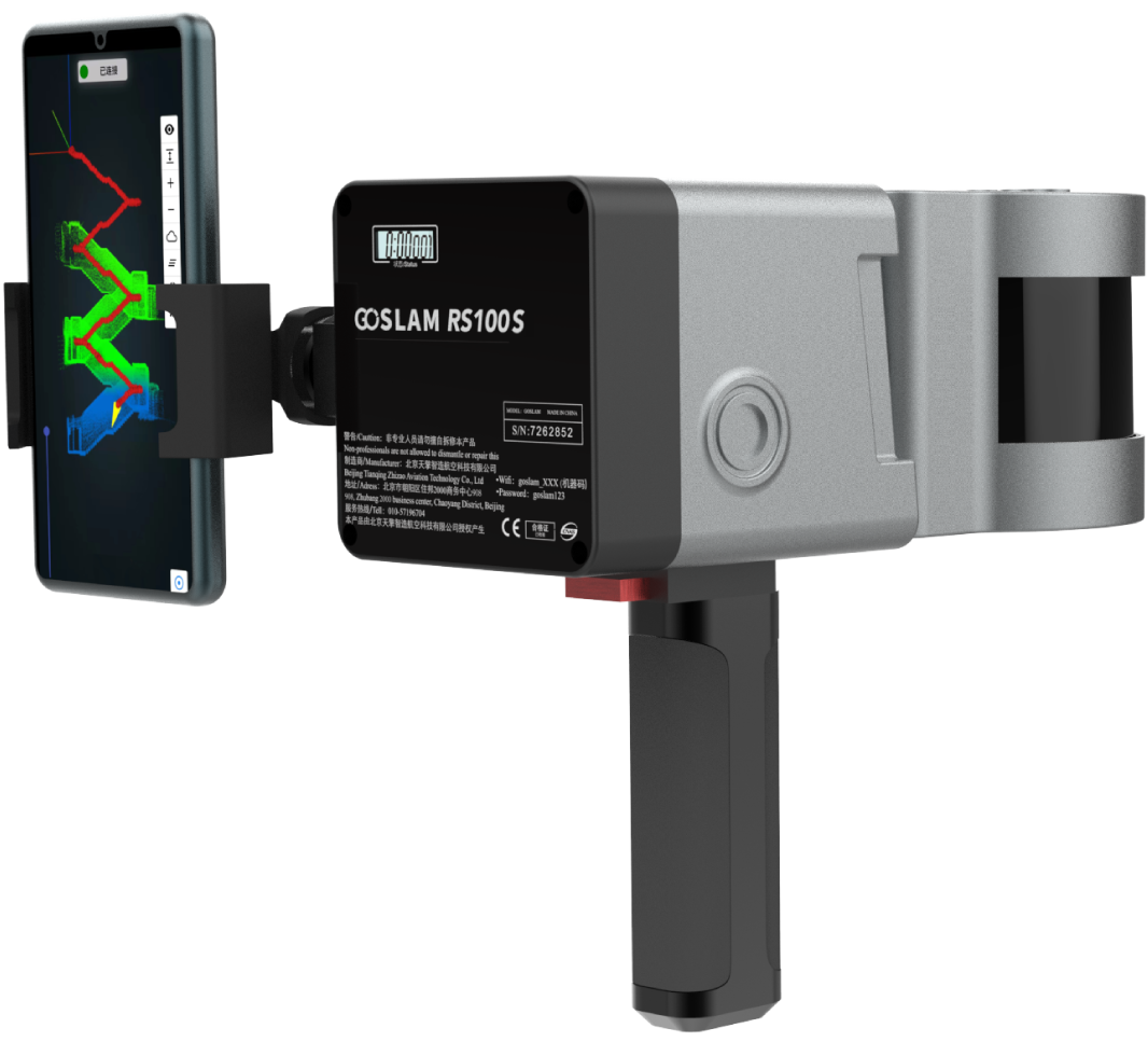
GoSLAM mobile measurement system adopts SLAM technology (simultaneous localization and mapping), that is, real-time positioning and mapping technology, does not rely on GNSS positioning such as GPS, and carries out its own positioning and incremental three-dimensional mapping in the movement of unknown environments such as indoor and outdoor space. GoSLAM is committed to providing customers with mobile 3D laser measurement system product solutions with better user experience.
[����] -
a new way to measure mobile[����]
GoSLAM mobile measurement system adopts SLAM technology (simultaneous localization and mapping), that is, real-time positioning and mapping technology, does not rely on GNSS positioning such as GPS, and carries out its own positioning and incremental three-dimensional mapping in the movement of unknown environments such as indoor and outdoor space. GoSLAM is committed to providing customers with mobile 3D laser measurement system product solutions with better user experience.
-
a new way to measure mobile
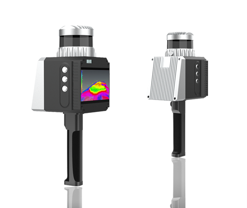
GoSLAM RS100-RTK mobile measurement system
integrates SLAM (simultaneous localization and mapping),
that is, real-time positioning and mapping technology
with RTK (Real - time kinematic)
centimeter-level satellite differential technology,
which can not rely on GNSS positioning such as GPS,
and scan and build maps in unknown environments
such as indoor and outdoor space.
It can also be used in
an open outdoor environment
to use the differential positioning system
for positioning assistance,
directly correct the accumulated error,
so that the whole system can obtain more accurate
point cloud data without closing the loop
in the large-scale outdoor acquisition process.
GoSLAM is committed to providing customers with
mobile 3D laser measurement system
product solutions with better user experience.
GoSLAM RS100-RTK mobile measurement system
integrates SLAM (simultaneous localization and mapping),
that is,
real-time positioning and mapping technology with RTK (Real - time kinematic)
centimeter-level satellite differential technology,
which can not rely on GNSS positioning such as GPS,
and scan and build maps in unknown environments such as indoor and outdoor space.
It can also be used in an open outdoor environment to use the differential positioning system for positioning assistance,
directly correct the accumulated error,
so that the whole system can obtain more accurate point cloud data
without closing the loop in the large-scale outdoor acquisition process.
GoSLAM is committed to providing customers with mobile 3D laser measurement system
product solutions with better user experience.
[����] -
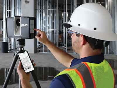
Capture accurate and complete measurements of buildings, facilities and complex environments with confidence
Capturing the measurements of a large building, facility, or crash/crime scene with conventional documentation methods can take days or weeks, and even then, the data might contain errors or missing details. But FARO Focus Premium creates accurate, complete and photorealistic 3D representations of any environment or object in just a few minutes.
[����]
-
The GoSLAM mobile measurement system uses SLAM (simultaneous localization and mapping), that is, real-time positioning and mapping technology. It does not rely on GPS and other GNSS positioning, and performs self-positioning and incremental 3D mapping in unknown environments such as indoor and outdoor spaces. GoSLAM is committed to providing customers with a better user experience Mobile 3D laser measurement system product solutions
[����] -
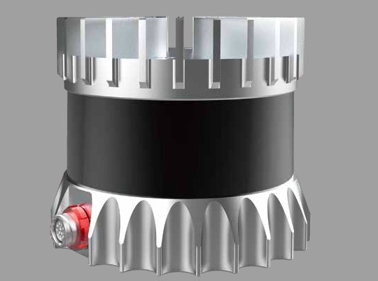
OS1 Mid-Range High-Resolution Imaging Lidar
The OS1 brings 3D sensing to any platform. Engineered for performance, and priced for large-scale deployment.
The OS1 offers an industry-leading combination of price, performance, reliability, size, weight, and power. It is designed for indoor/outdoor all-weather environments and long lifetime. As the smallest high performance lidar on the market, the OS1 can be directly integrated into vehicle facias, robots, drones, and fixed infrastructure.
[����]
-
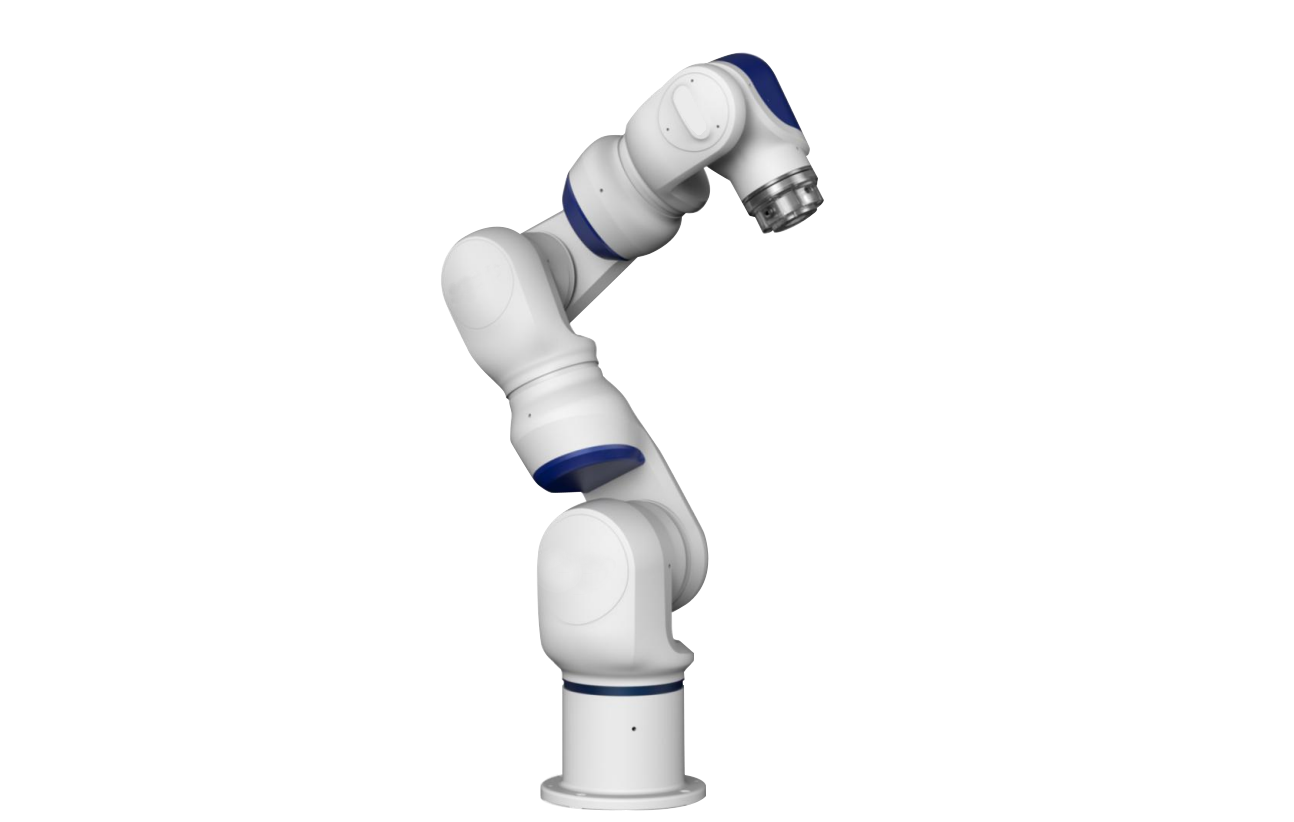
FARO® Quantum Max ScanArms
The global standard in non-contact measurement arm technology
Sometimes a part or tool is so complex, you can’t use contact probes to capture all of its measurements. But lasers do the job with exceptional speed and accuracy. In these cases, leading manufacturers rely on FARO Quantum Max ScanArms, which combine the measurement capabilities of a Quantum Max FaroArm® portable coordinate measuring machine (CMM) with the non-contact functionality of a laser line probe. The Quantum Max also offers three LLPs that optimize accuracy, speed or a blend of both, depending on project need. Whichever LLP you choose, 3D ScanArms capture precise measurements in nearly any environment, from the factory floor to the field.
[����] -
Fast – Easy – Photorealistic 3D Data Capture for Public Safety[����]
-
an advanced smart mode which guides users through 3D scanning and data processing in a few easy steps.
Answer some simple questions about the object you have scanned and Artec’s advanced 3D imaging software will select the most effective 3D algorithms for your data and will develop a high precision model ready for use in your professional application.
[����]


