


|
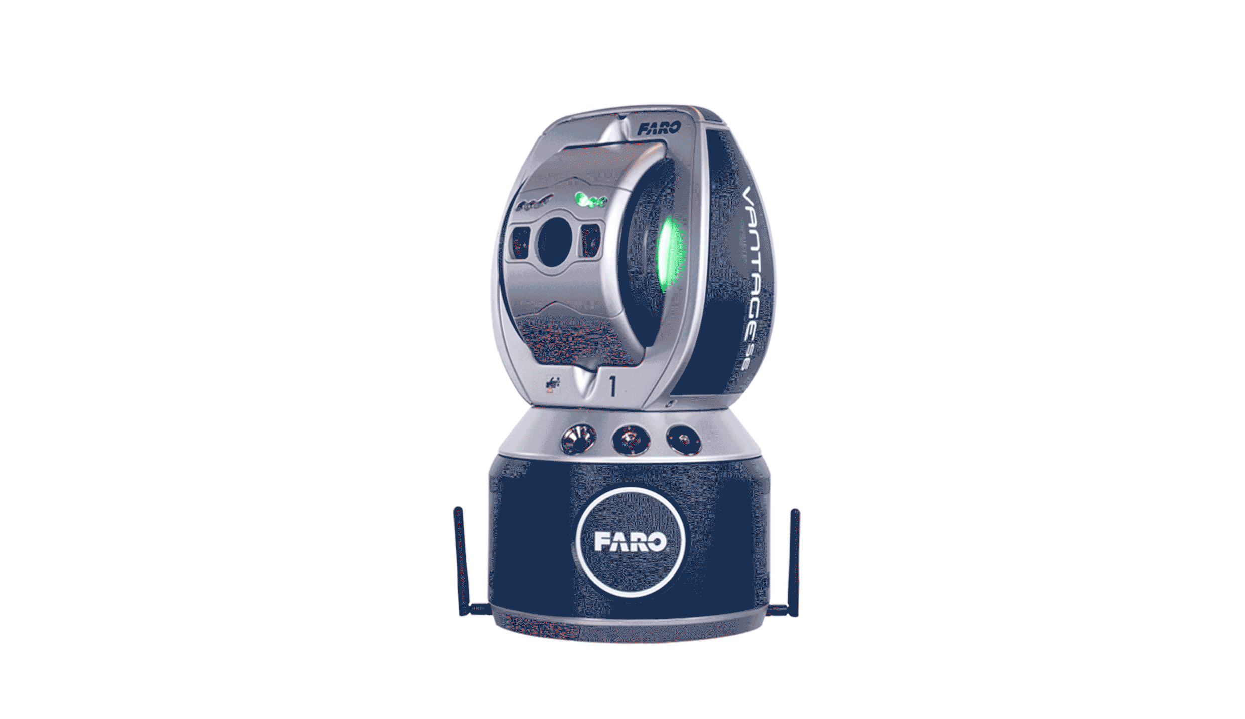
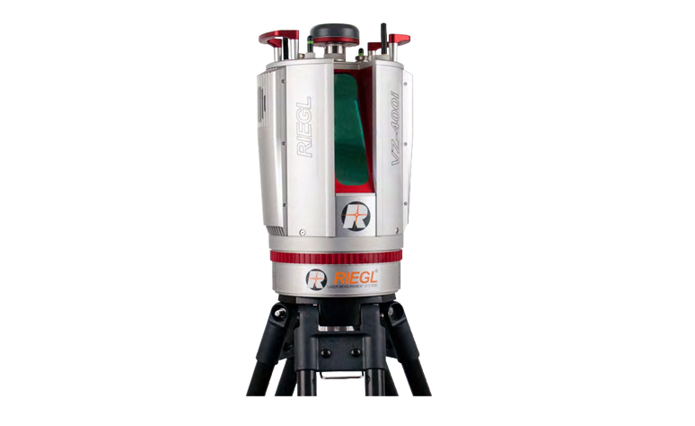
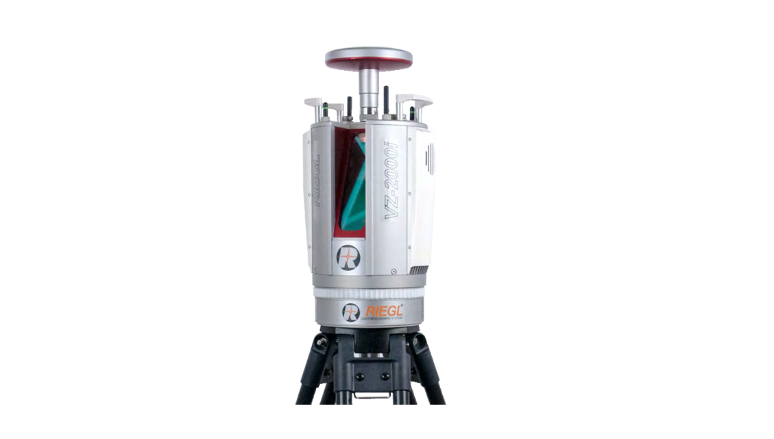
RIEGL VZ-2000i
The development of VZ-2000i long distance 3D laser scanning system focuses on the future, and adopts a new generation of innovative processing architecture, combined with Internet technology and new full waveform processing technology, to provide users with simple, fast and accurate data acquisition solutions.
|
|
|
The new processing architecture of VZ-2000i enables it to independently complete different background tasks (such as point cloud registration, splicing, built-in inertial navigation orientation, etc.) while collecting data.
a solid foundation for creating personal python applications that further enhance the scanner's capabilities.
accessories (such as integrated GNSS units for high-precision RTK solutions) make the scanner more versatile. transceiver processing, so that even in dust, fog, rain, snow and other weather with low visibility, VZ-2000i can also be fast,
high precision, long distance measurement.
|
|
|
|
|
|
● Laser transmission frequency up to 1.2MHz ● Data measurement speed up to 500,000 points/second ● The primary safety laser field Angle is 100° × 360°, which is safe for human eyes ● Ranging up to 2500 m, measuring accuracy 5 mm ● Based on echo digitization, real-time waveform processing and multi-wave number transceiver Processing technology for accurate measurement ● New innovative processing module, can be collected data at the same time stitching● Automatic data splicing |
● Synchronous collection of point cloud data and image data ● Data over LAN, Wi-Fi ● or 3G/4G for transmission with cloud storage devices ● Fully compatible with VMZ hybrid mobile laser measurement system ● Multi-target detection capability ● Optional full waveform output module attitude estimation azimuth sensor ● Remote control ● Integrated GNSS receiver |
|
|
|
|
● Terrain and mines ● Natural disaster survey ● Construction site supervision ● Urban Modeling |
● Archiving archaeological and cultural heritage ● Tunnel measurement ● Civil Engineering ● Research |