����
-
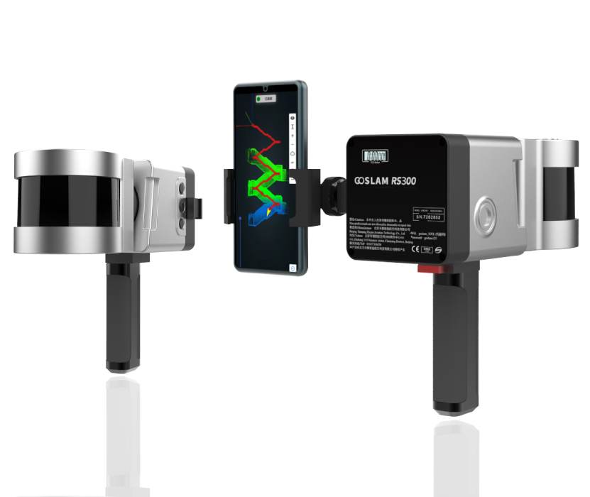
The GoSLAM mobile measurement system uses SLAM technology (simultaneous localization and mapping), that is, real-time positioning and mapping technology, which does not rely on GNSS positioning such as GPS, and performs self-positioning and incremental three-dimensional mapping in the unknown environment movement such as indoor and outdoor space. GoSLAM is committed to providing user-centered 3D laser mobile scanning measurement system product solutions to bring better working experience to users.
[����] -
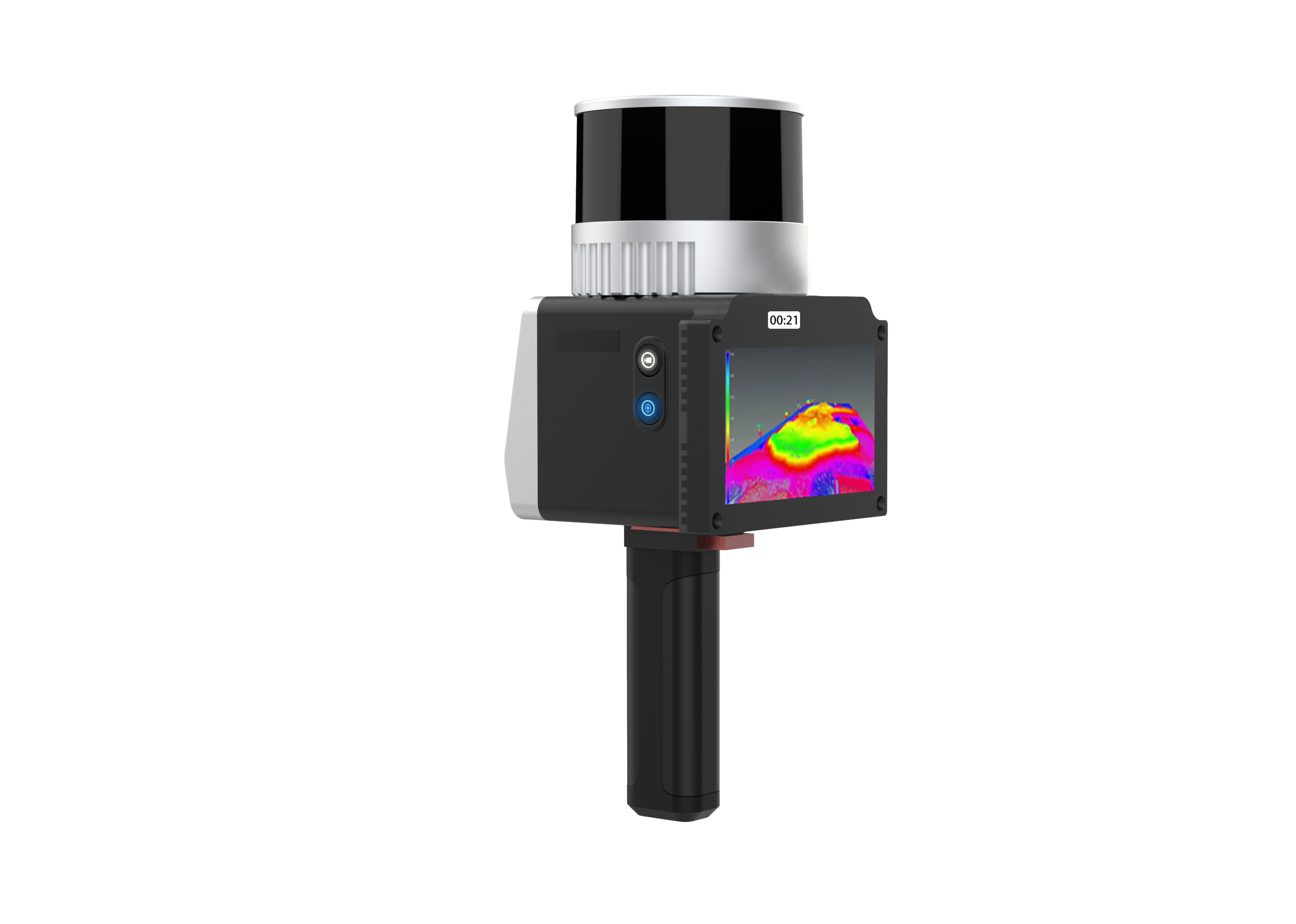
The GoSLAM RS100i mobile scanner supports a variety of scanning modes and is suitable for a variety of application scenarios. GNSS module can be switched quickly, supporting scanning to obtain WGS84 and CGCS2000 coordinate system point cloud, using the second generation of mapping program, absolute accuracy of about 2cm.[����]
-
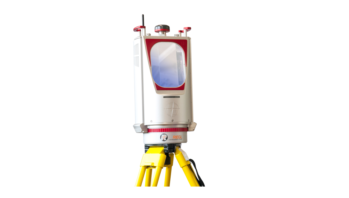
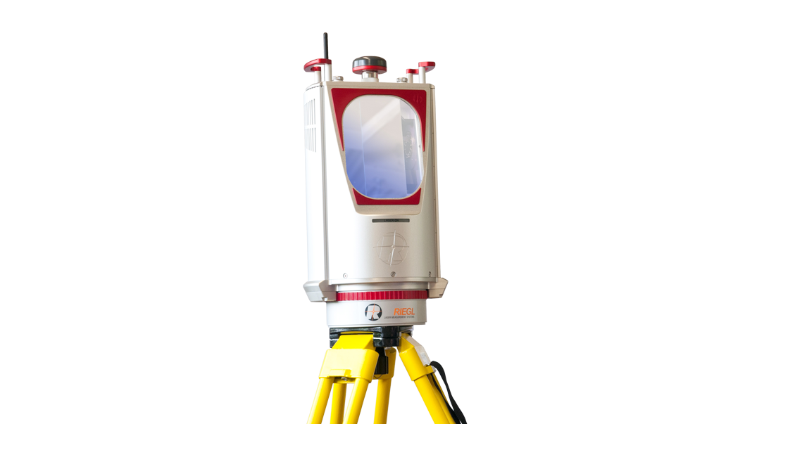
The VZ-6000 is a 3D laser scanner belonging to the VZ family that provides superior, even over 6000 m, ultra-long range measurement capabilities.[����]
-
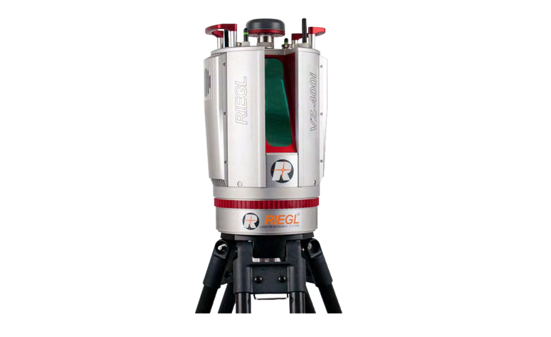
The VZ-4000 is a 3D Laser scanner belonging to the VZ series. It uses Laser Class 1, which is safe for human eyes, while having the ability to measure ultra-long distances up to 4000 m.[����]
-
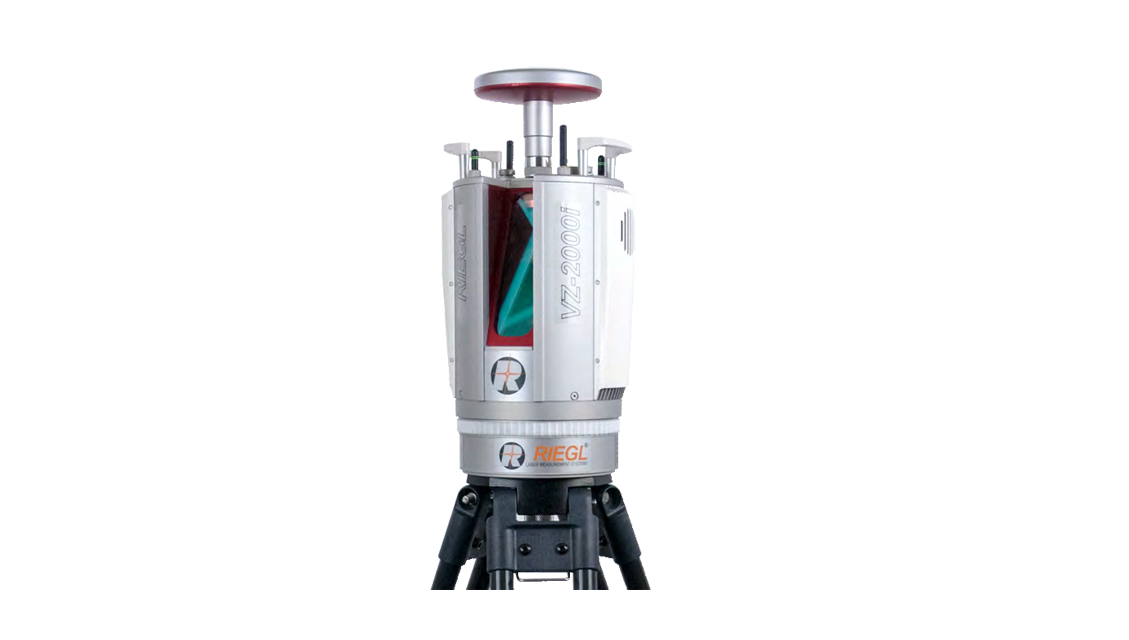
The development of VZ-2000i long distance 3D laser scanning system focuses on the future, and adopts a new generation of innovative processing architecture, combined with Internet technology and new full waveform processing technology, to provide users with simple, fast and accurate data acquisition solutions.[����]
-
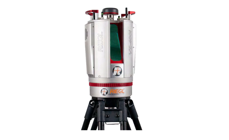
The VZ-400i 3D laser scanning system combines cutting-edge data processing technology, Internet access, MEMS sensors and new scanning technologies.[����]
-
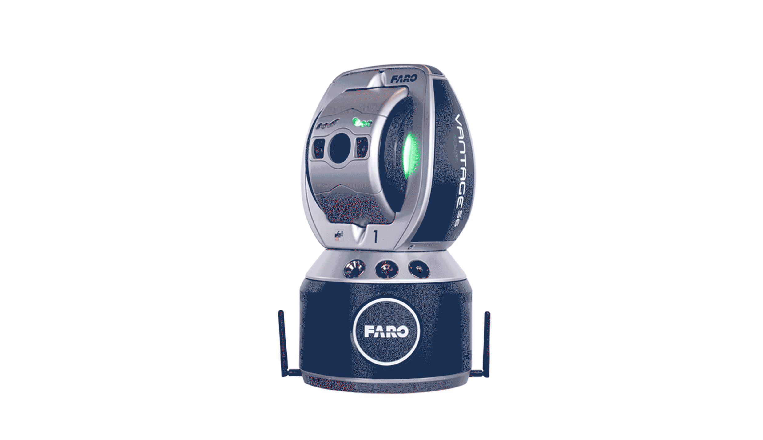
Measuring large parts, molds, assemblies and machines used to be a difficult, time-consuming process that often required special testing areas. The portable FARO Vantage Laser tracker makes field measurements easy and fast, reducing inspection cycles by up to 75%. They measure three-dimensional coordinates by tracking the target as the user moves from one point to another on the measuring object. It only takes a few seconds to compare these measurements to nominal CAD data so that the team can make informed adjustments or move forward with confidence.[����]
-
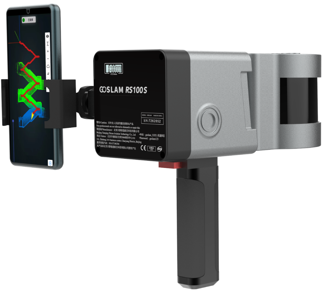
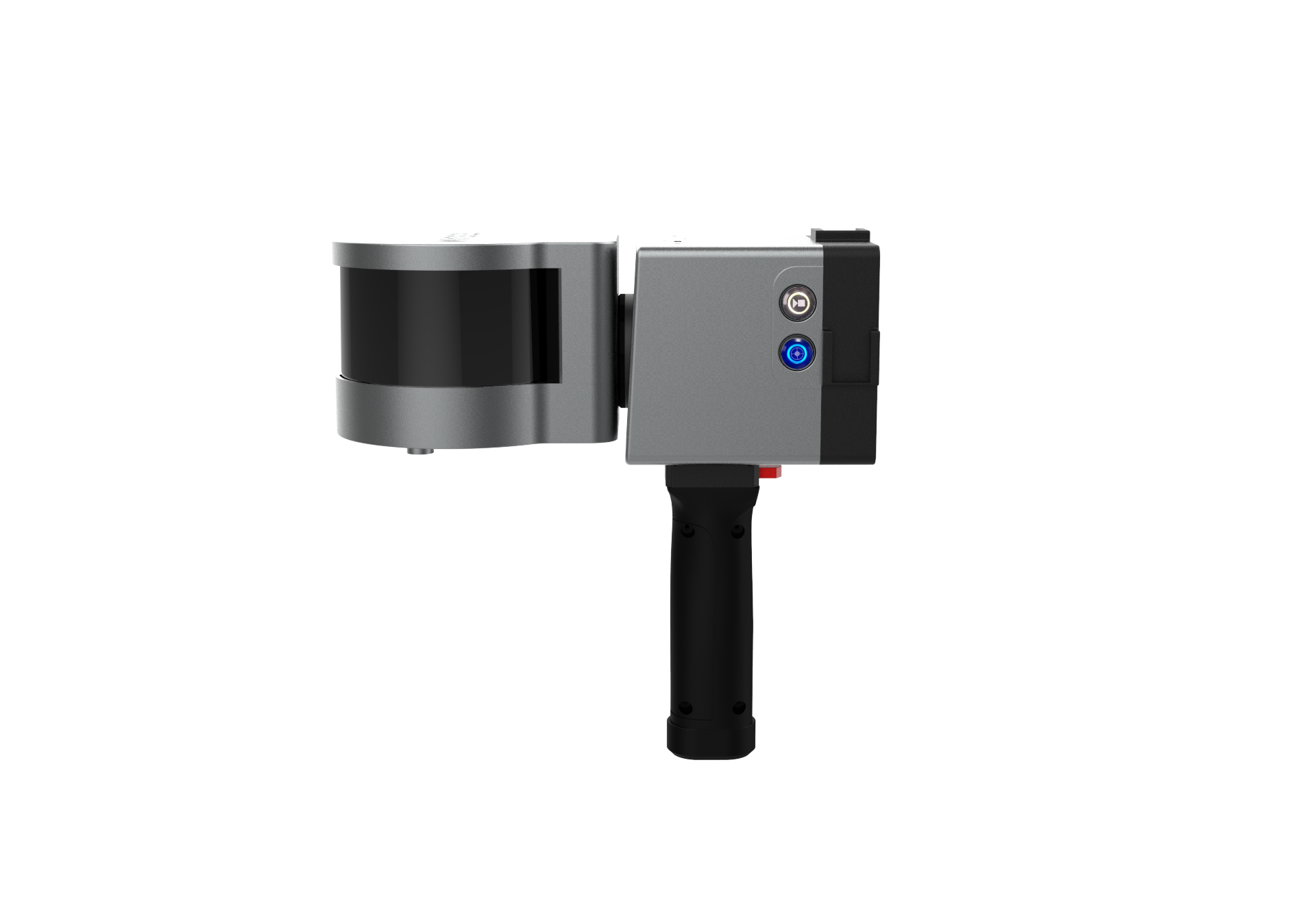
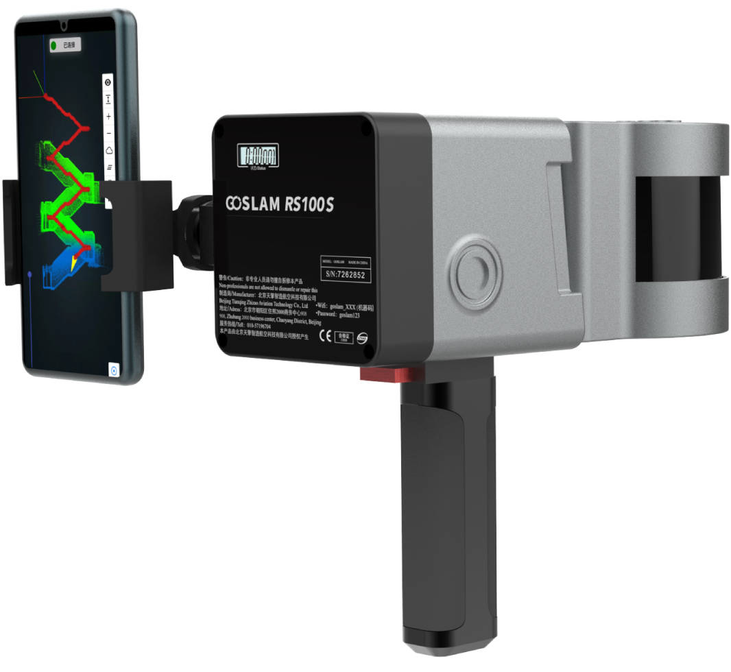
The GoSLAM RS100S mobile scanner supports multiple scanning modes and is suitable for a variety of application scenarios. It supports retrofitting and upgrading to the RS100S-RTK backpack mapping system to achieve centimeter-level real-time positioning. Outdoor scanning without closed loop is more free and greatly improves scanning efficiency.The GoSLAM RS100S mThe GoSLAM RS100S mobile scanner supports multiple scanning modes and is suitable for a variety of application scenarios. It supports retrofitting and upgrading to the RS100S-RTK backpack mapping system to achieve centimeter-level real-time positioning. Outdoor scanning without closed loop is more free and greatly improves scanning efficiency.obile scanner supports multiple scanning modes and is suitable for a variety of application scenarios. It supports retrofitting and upgrading to the RS100S-RTK backpack mapping system to achieve centimeter-level real-time positioning. Outdoor scanning without closed loop is more free and greatly improves scanning efficiency.[����]
-
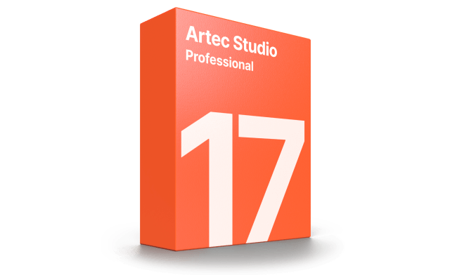
Transform your 3D scanner with industry-acclaimed software for professional 3D scanning and data processing. Easy 3D scanning. High-precision results.[����]
-
GoSLAM mobile measurement system adopts SLAM technology (simultaneous localization and mapping),
that is, real-time positioning and mapping technology, does not rely on GNSS positioning such as GPS,
and carries out its own positioning and incremental three-dimensional mapping in
the movement of unknown environments such as indoor and outdoor space.
GoSLAM is committed to providing customers with mobile 3D laser measurement system product
solutions with better user experience.
[����]
Copyright(c)2015 Beijing Onrol Technology Co.ItdAllright Reserved


