-
-
-
Transform your 3D scanner with industry-acclaimed software for professional 3D scanning and data processing. Easy 3D scanning. High-precision results.[����]
-
After 19 years of development, CHINTERGEO China Surveying and Mapping Geographic Information Technology Equipment Exhibition has become an important platform for the exchange of surveying and mapping geographic information technology equipment in China and the Asia-Pacific region. It is also the only international company that has been awarded the UFI certification by the Global Exhibition Industry Association. Exhibition.
CHINTERGEO2019 focuses on the high-tech equipment of the surveying and mapping geographic information industry with the theme of “Zhizhan’s current new road”. The total exhibition area has reached 22,000 square meters, more than 300 exhibiting companies, and more than 10,000 professional visitors.
[����]
-
-
-
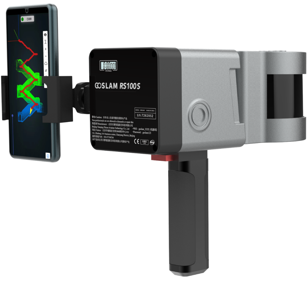
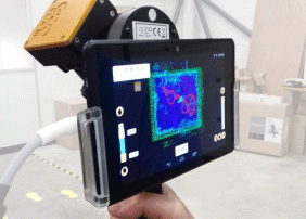
经过成功的研发与测试,GEOSLAM 手持式三维激光扫描仪ZEB-REVO-Real Time(以下简称RT)终于在德国柏林INTERGEO展会(国际大地测量学和地球信息技术展)上正式推出。[����]
-
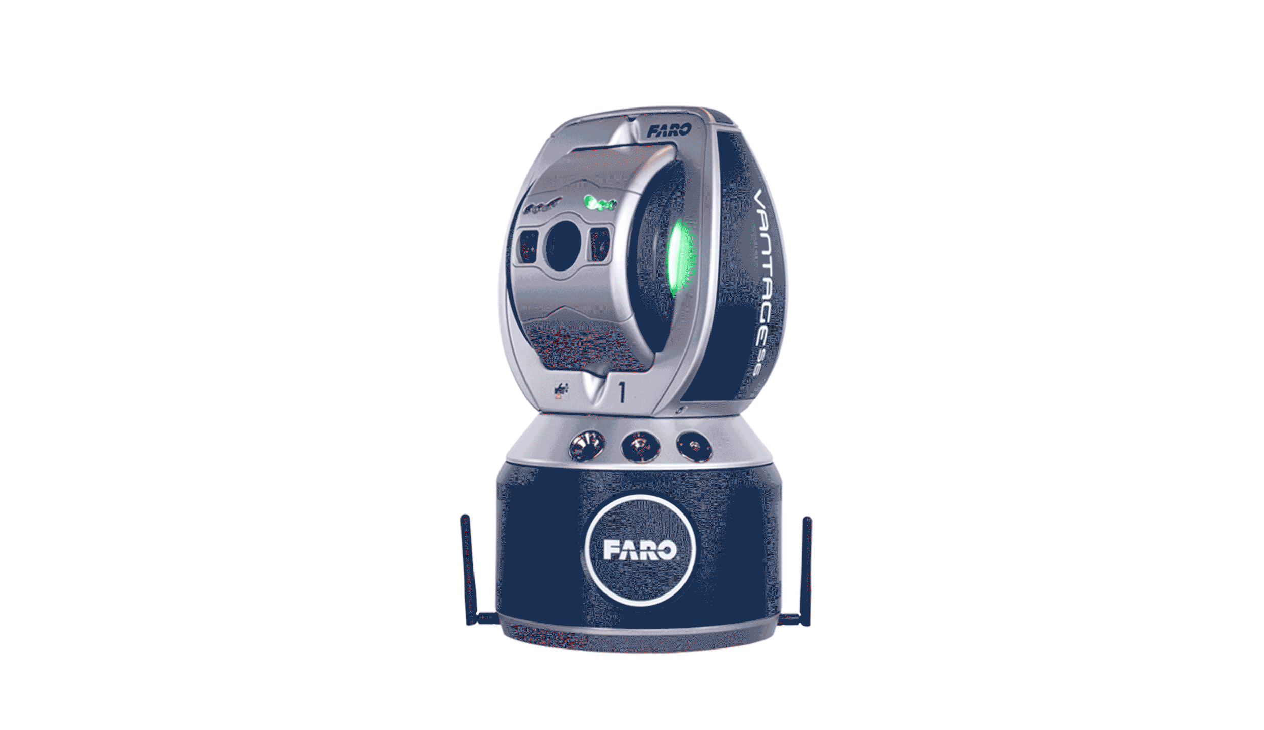
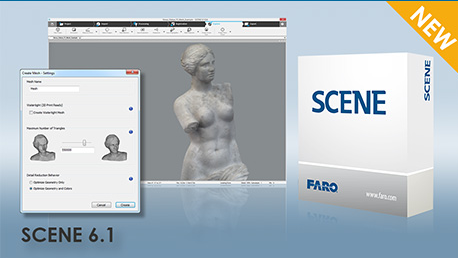
SCENE软件为FARO激光扫描仪专门设计。通过使用自动对象识别以及扫描项目配准和定位功能,SCENE软件能够轻松且高效地处理和管理扫描后的数据。SCENE软件提供全彩图像,还可以进行无靶标自动扫描定位,并能够快速而有效地生成高质量的数据。
近期,FARO推出最新Scene6.1版本,相对于之前版本有了较大的改动。[����]


