- Home
- About us
- Hardware
-
 Artec 3D scanner
Artec Eva
Artec Space Spider
Artec Leo
Artec Ray II
Artec Micro
Artec 3D scanner
Artec Eva
Artec Space Spider
Artec Leo
Artec Ray II
Artec Micro
-
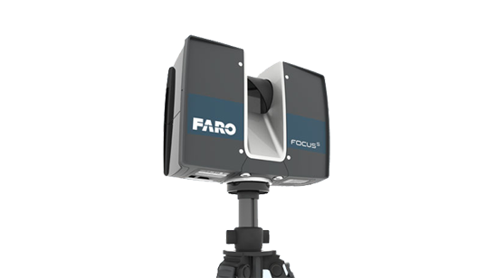 Faro 3D laser scanner
FARO® Focus Premium
FARO FocusM 70
FARO FREESTYLE 2
Faro 3D laser scanner
FARO® Focus Premium
FARO FocusM 70
FARO FREESTYLE 2
-
 Faro industrial reverse scanner
FARO® Quantum Max ScanArms
Quantum Max FaroArm
Faro industrial reverse scanner
FARO® Quantum Max ScanArms
Quantum Max FaroArm
-
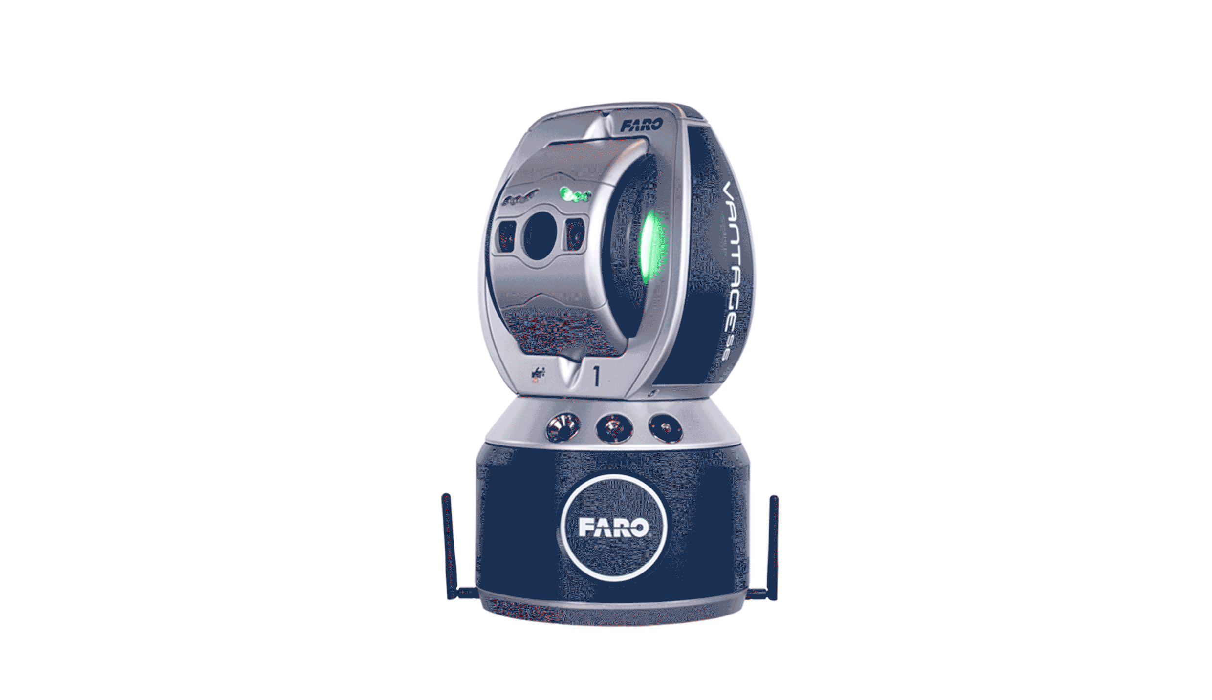 FARO® Vantage Laser Trackers
FARO® Vantage Laser Trackers
FARO® Vantage Laser Trackers
-
 UAV Tilt photography
MS-Smart 2
UAV Tilt photography
MS-Smart 2
-
 RIEGL Terrestrial Laser Scanning
RIEGL VZ-400i
RIEGL VZ-2000i
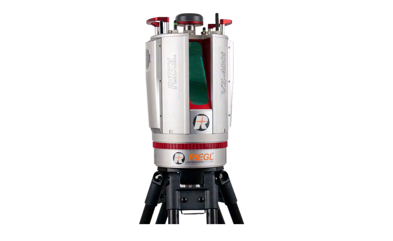
RIEGL VZ-4000
RIEGL VZ-6000
RIEGL Terrestrial Laser Scanning
RIEGL VZ-400i
RIEGL VZ-2000i
RIEGL VZ-4000
RIEGL VZ-6000
-
 GoSLAM
 VS120
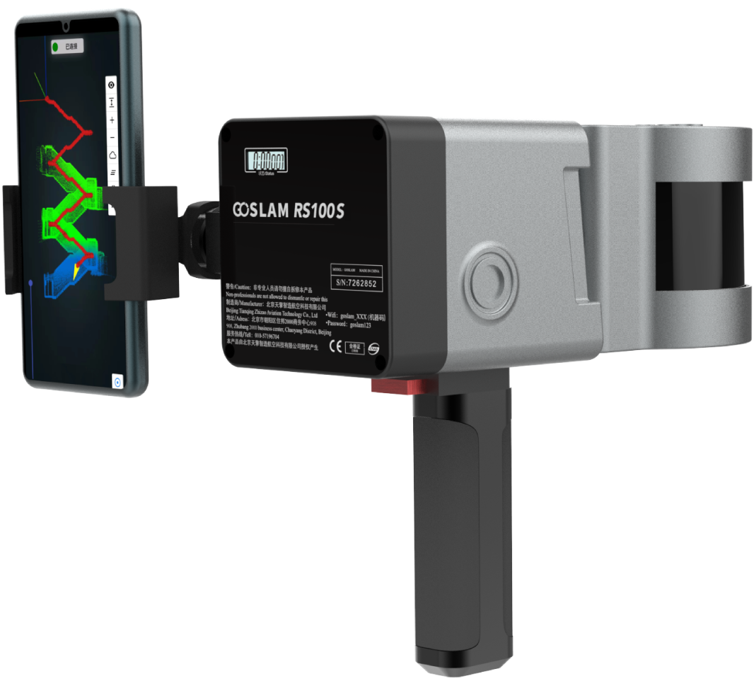
GoSLAM RS100S
GoSLAM RS100i
GoSLAM DS100
GoSLAM RS100
GoSLAM VS100
GoSLAM
GoSLAM VS120
GoSLAM RS100S
GoSLAM RS100i
GoSLAM DS100
GoSLAM RS100
GoSLAM VS100
-
 High resolution aerial camera
Phase One iXU 180
Phase One iXU 150
High resolution aerial camera
Phase One iXU 180
Phase One iXU 150
-
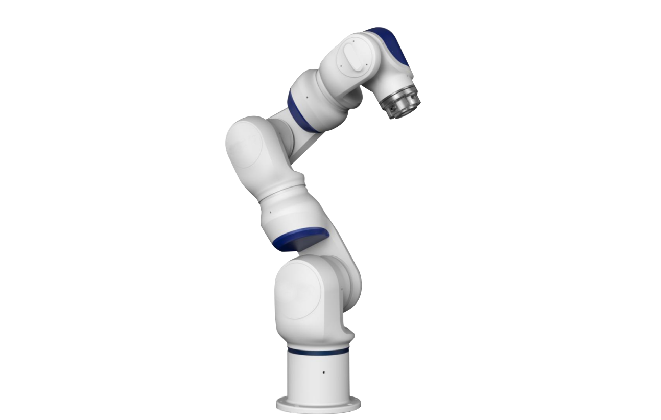 Collaborative robot
Collaborative robot
Collaborative robot
-
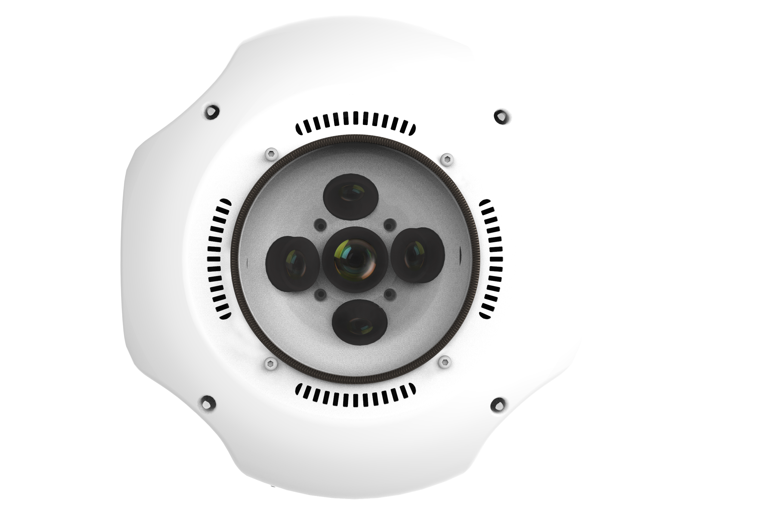
 3D Lidar
OS1 Lidar
3D Lidar
OS1 Lidar
-
 3D scanner accessories
标靶球(配准)
棱镜球(配准)
TSP定位装置
3D scanner accessories
标靶球(配准)
棱镜球(配准)
TSP定位装置
-
 ATS positioning registration kit
ATS positioning registration kit
ATS positioning registration kit
-
- Software
-
 Faro software
AS-BUILT FOR AUTOCAD®
AS-BUILT FOR REVIT®
FARO Scene2019
BuildIT Construction
Faro software
AS-BUILT FOR AUTOCAD®
AS-BUILT FOR REVIT®
FARO Scene2019
BuildIT Construction
-
 Clear Edge software
EdgeWise Plant
EdgeWise MEP For Revit
EdgeWise Building
EdgeWise Structure
ClearEdge Verity
Clear Edge software
EdgeWise Plant
EdgeWise MEP For Revit
EdgeWise Building
EdgeWise Structure
ClearEdge Verity
-
 3D Reshaper software
3D Reshaper
3D Reshaper LSDK
3D Reshaper software
3D Reshaper
3D Reshaper LSDK
-
 Arena4D
Arena4D
Arena4D
-
 Artec post-processing software
Artec Studio 14
Artec Studio 15
Artec Studio 17
Artec post-processing software
Artec Studio 14
Artec Studio 15
Artec Studio 17
-
 PhotoScan software
PhotoScan software
PhotoScan software
-
 Onrol products
空间数据浏览器
激光雷达综合应用平台
Onrol products
空间数据浏览器
激光雷达综合应用平台
-
- Application
- Building and engineering City planning Digital City Tunnel engineering Highway acceptance Settlement monitoring Building structure safety inspection Urban disaster analysis Bridge reconstruction railway construction Airport and port
- Cultural heritage protection Ancient architecture protection Site excavation protection Paleontological record Digital Museum
- Geological and scientific applications Terrain Surveying Landslide monitoring Mining operation Forest green quantity
- Electricity and water application Substation Power line inspection Reservoir and dam
- Manufacturing and digital factory Plant facilities Detection and reverse engineering Aviation and shipbuilding
- Public security application Traffic accident Crime scene
- Case
- Cooperation
- Support
- Download
- Train


Solution overview
Usually a piece of virgin land development or major construction, must be made by Surveying Engineer measured topographic maps, and other information, and then to decision-making, planning and design work is very important, so the work of Surveying and mapping. Usually we see the map, traffic map are completed on the basis of Surveying and mapping. Surveying and mapping work often carried out field work, the working environment is very difficult, and the mountains of forest land and other complex terrain mapping difficult, time-consuming.
The 3D laser scanning technology is also known as the real copy technology, is a technology revolution after GPS in the field of Surveying and mapping. It breaks through the traditional single point measurement method, with high efficiency and high precision. Three dimensional laser scanning technology can provide three-dimensional point cloud data of the scanned object surface
了解更多:请与我们联系

- Faro software
- Clear Edge software
- 3D Reshaper software
- Arena4D
- Artec post-processing software
- PhotoScan software
- Onrol products