- Home
- About us
- Hardware
-
 Artec 3D scanner
Artec Eva
Artec Space Spider
Artec Leo
Artec Ray II
Artec Micro
Artec 3D scanner
Artec Eva
Artec Space Spider
Artec Leo
Artec Ray II
Artec Micro
-
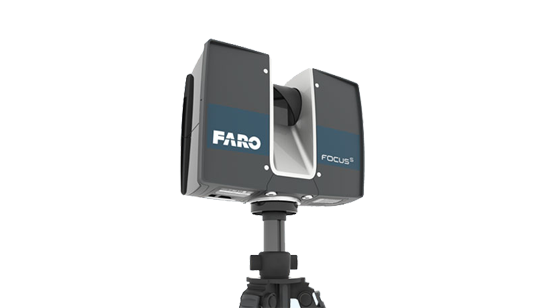 Faro 3D laser scanner
FARO® Focus Premium
FARO FocusM 70
FARO FREESTYLE 2
Faro 3D laser scanner
FARO® Focus Premium
FARO FocusM 70
FARO FREESTYLE 2
-
 Faro industrial reverse scanner
FARO® Quantum Max ScanArms
Quantum Max FaroArm
Faro industrial reverse scanner
FARO® Quantum Max ScanArms
Quantum Max FaroArm
-
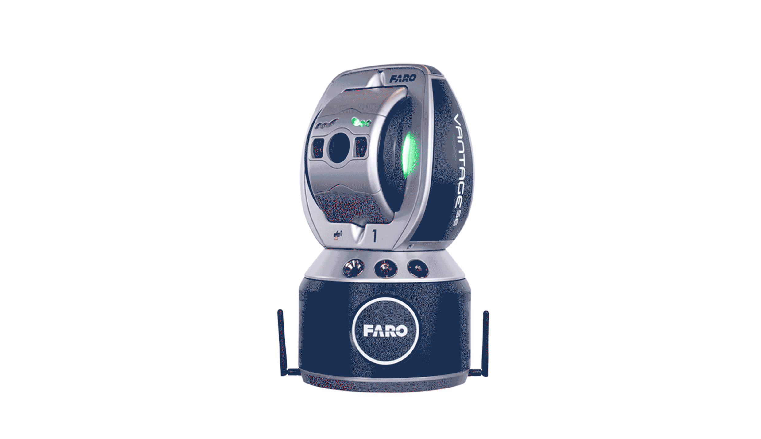 FARO® Vantage Laser Trackers
FARO® Vantage Laser Trackers
FARO® Vantage Laser Trackers
-
 UAV Tilt photography
MS-Smart 2
UAV Tilt photography
MS-Smart 2
-
 RIEGL Terrestrial Laser Scanning
RIEGL VZ-400i
RIEGL VZ-2000i
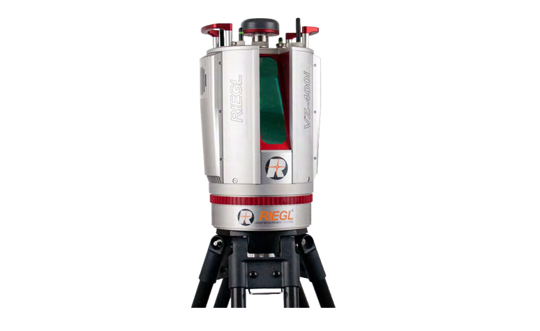
RIEGL VZ-4000
RIEGL VZ-6000
RIEGL Terrestrial Laser Scanning
RIEGL VZ-400i
RIEGL VZ-2000i
RIEGL VZ-4000
RIEGL VZ-6000
-
 GoSLAM
 VS120
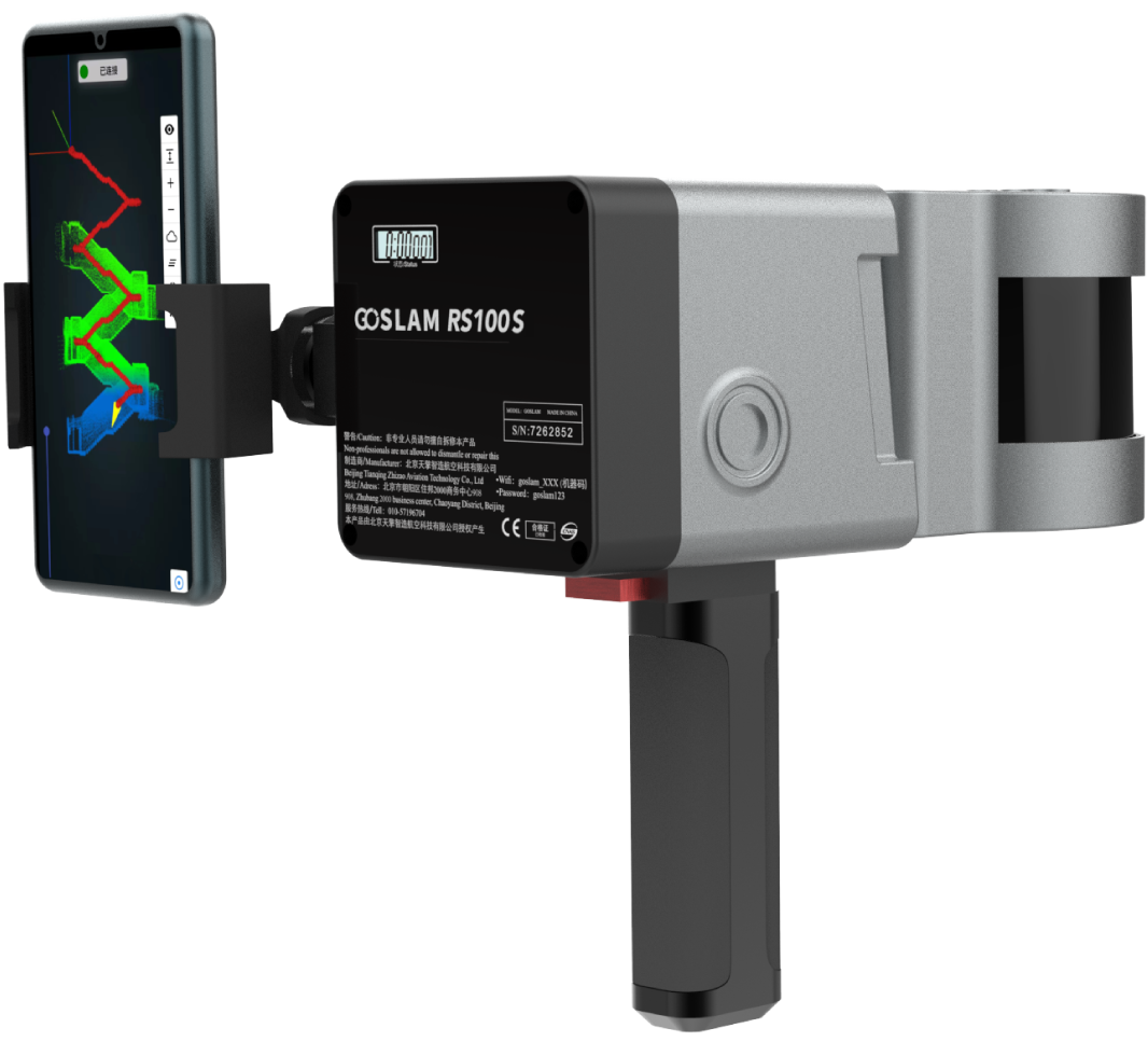
GoSLAM RS100S
GoSLAM RS100i
GoSLAM DS100
GoSLAM RS100
GoSLAM VS100
GoSLAM
GoSLAM VS120
GoSLAM RS100S
GoSLAM RS100i
GoSLAM DS100
GoSLAM RS100
GoSLAM VS100
-
 High resolution aerial camera
Phase One iXU 180
Phase One iXU 150
High resolution aerial camera
Phase One iXU 180
Phase One iXU 150
-
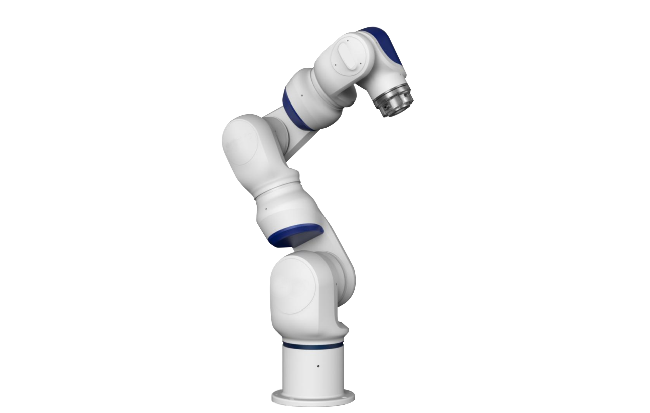 Collaborative robot
Collaborative robot
Collaborative robot
-
 3D Lidar
OS1 Lidar
3D Lidar
OS1 Lidar
-
 3D scanner accessories
标靶球(配准)
棱镜球(配准)
TSP定位装置
3D scanner accessories
标靶球(配准)
棱镜球(配准)
TSP定位装置
-
 ATS positioning registration kit
ATS positioning registration kit
ATS positioning registration kit
-
- Software
-
 Faro software
AS-BUILT FOR AUTOCAD®
AS-BUILT FOR REVIT®
FARO Scene2019
BuildIT Construction
Faro software
AS-BUILT FOR AUTOCAD®
AS-BUILT FOR REVIT®
FARO Scene2019
BuildIT Construction
-
 Clear Edge software
EdgeWise Plant
EdgeWise MEP For Revit
EdgeWise Building
EdgeWise Structure
ClearEdge Verity
Clear Edge software
EdgeWise Plant
EdgeWise MEP For Revit
EdgeWise Building
EdgeWise Structure
ClearEdge Verity
-
 3D Reshaper software
3D Reshaper
3D Reshaper LSDK
3D Reshaper software
3D Reshaper
3D Reshaper LSDK
-
 Arena4D
Arena4D
Arena4D
-
 Artec post-processing software
Artec Studio 14
Artec Studio 15
Artec Studio 17
Artec post-processing software
Artec Studio 14
Artec Studio 15
Artec Studio 17
-
 PhotoScan software
PhotoScan software
PhotoScan software
-
 Onrol products
空间数据浏览器
激光雷达综合应用平台
Onrol products
空间数据浏览器
激光雷达综合应用平台
-
- Application
- Building and engineering City planning Digital City Tunnel engineering Highway acceptance Settlement monitoring Building structure safety inspection Urban disaster analysis Bridge reconstruction railway construction Airport and port
- Cultural heritage protection Ancient architecture protection Site excavation protection Paleontological record Digital Museum
- Geological and scientific applications Terrain Surveying Landslide monitoring Mining operation Forest green quantity
- Electricity and water application Substation Power line inspection Reservoir and dam
- Manufacturing and digital factory Plant facilities Detection and reverse engineering Aviation and shipbuilding
- Public security application Traffic accident Crime scene
- Case
- Cooperation
- Support
- Download
- Train


The current position:Home >
Application
> Cultural heritage protection
> Ancient architecture protection
三维激光扫描技术在古建保护数字化的应用
古建筑延续了历史文脉,是人类文明的载体。随着社会经济的发展,古建筑的价值逐渐受到人们的高度重视,对于古建筑必须采取积极地手段、先进的技术进行保护和利用。
传统的古建测绘方法是以直尺和角尺、垂球等工具直接量取建筑物及其构件的尺寸而获取的最终资料是图纸以及一些文字录。三维激光扫描技术是通过高密度的扫描点来表达和记录被测物体尺寸和形态的技术,点云数据是最为原始的测量数据,被测物体的三维几何信息都蕴含在点云数据中。立体模型可构建三维数字模型,作虚拟现实和模拟修复等应用,亦可制成各类工程图、结图、切面图等。

图:建筑点云数据
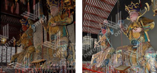
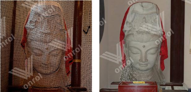
全面的古建筑模型信息可以帮助研究人员更加深入地研究古建筑的结构、艺术价值、营造方法。在古建修缮工作中,进行准确、全面的现状测量是分析结构变形和绘制设计图纸的基础工作。扫描数据的高密度、可视化、三维数字化为测量以及修复提供了更加精确更加完善的依据。
Application

Partners
About us
Cooperation
Software
- Faro software
- Clear Edge software
- 3D Reshaper software
- Arena4D
- Artec post-processing software
- PhotoScan software
- Onrol products
Support
Hardware
Application


Copyright(c)2015 Beijing Onrol Technology Co.ItdAllright Reserved