- Home
- About us
- Hardware
-
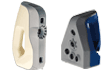 Artec 3D scanner
Artec Eva
Artec Space Spider
Artec Leo
Artec Ray II
Artec Micro
Artec 3D scanner
Artec Eva
Artec Space Spider
Artec Leo
Artec Ray II
Artec Micro
-
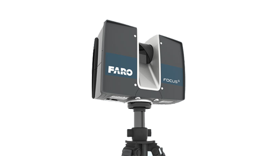 Faro 3D laser scanner
FARO® Focus Premium
FARO FocusM 70
FARO FREESTYLE 2
Faro 3D laser scanner
FARO® Focus Premium
FARO FocusM 70
FARO FREESTYLE 2
-
 Faro industrial reverse scanner
FARO® Quantum Max ScanArms
Quantum Max FaroArm
Faro industrial reverse scanner
FARO® Quantum Max ScanArms
Quantum Max FaroArm
-
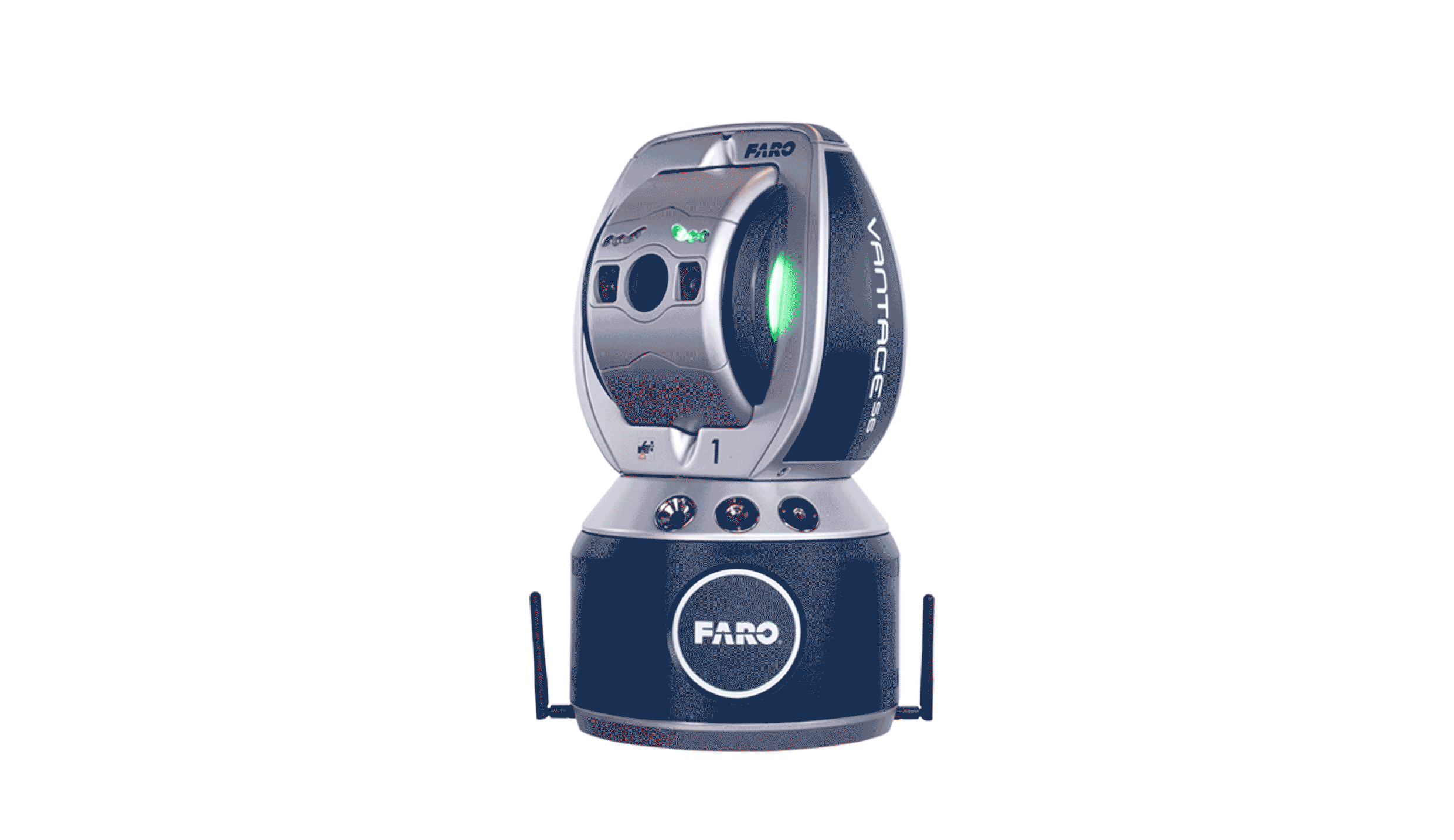 FARO® Vantage Laser Trackers
FARO® Vantage Laser Trackers
FARO® Vantage Laser Trackers
-
 UAV Tilt photography
MS-Smart 2
UAV Tilt photography
MS-Smart 2
-
 RIEGL Terrestrial Laser Scanning
RIEGL VZ-400i
RIEGL VZ-2000i
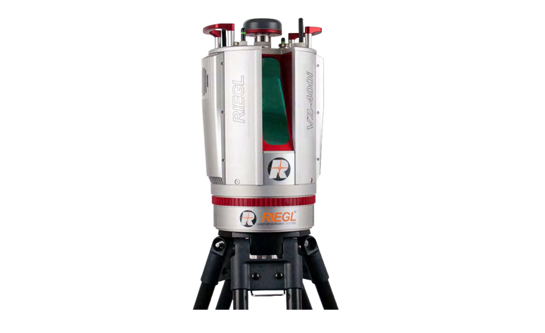
RIEGL VZ-4000
RIEGL VZ-6000
RIEGL Terrestrial Laser Scanning
RIEGL VZ-400i
RIEGL VZ-2000i
RIEGL VZ-4000
RIEGL VZ-6000
-
 GoSLAM
 VS120
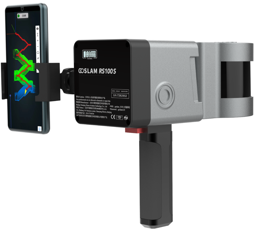
GoSLAM RS100S
GoSLAM RS100i
GoSLAM DS100
GoSLAM RS100
GoSLAM VS100
GoSLAM
GoSLAM VS120
GoSLAM RS100S
GoSLAM RS100i
GoSLAM DS100
GoSLAM RS100
GoSLAM VS100
-
 High resolution aerial camera
Phase One iXU 180
Phase One iXU 150
High resolution aerial camera
Phase One iXU 180
Phase One iXU 150
-
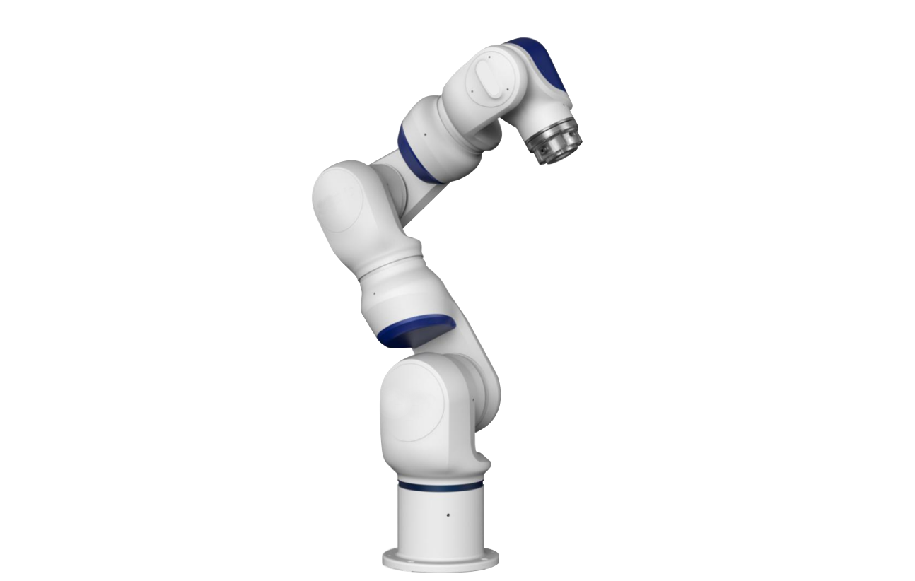 Collaborative robot
Collaborative robot
Collaborative robot
-
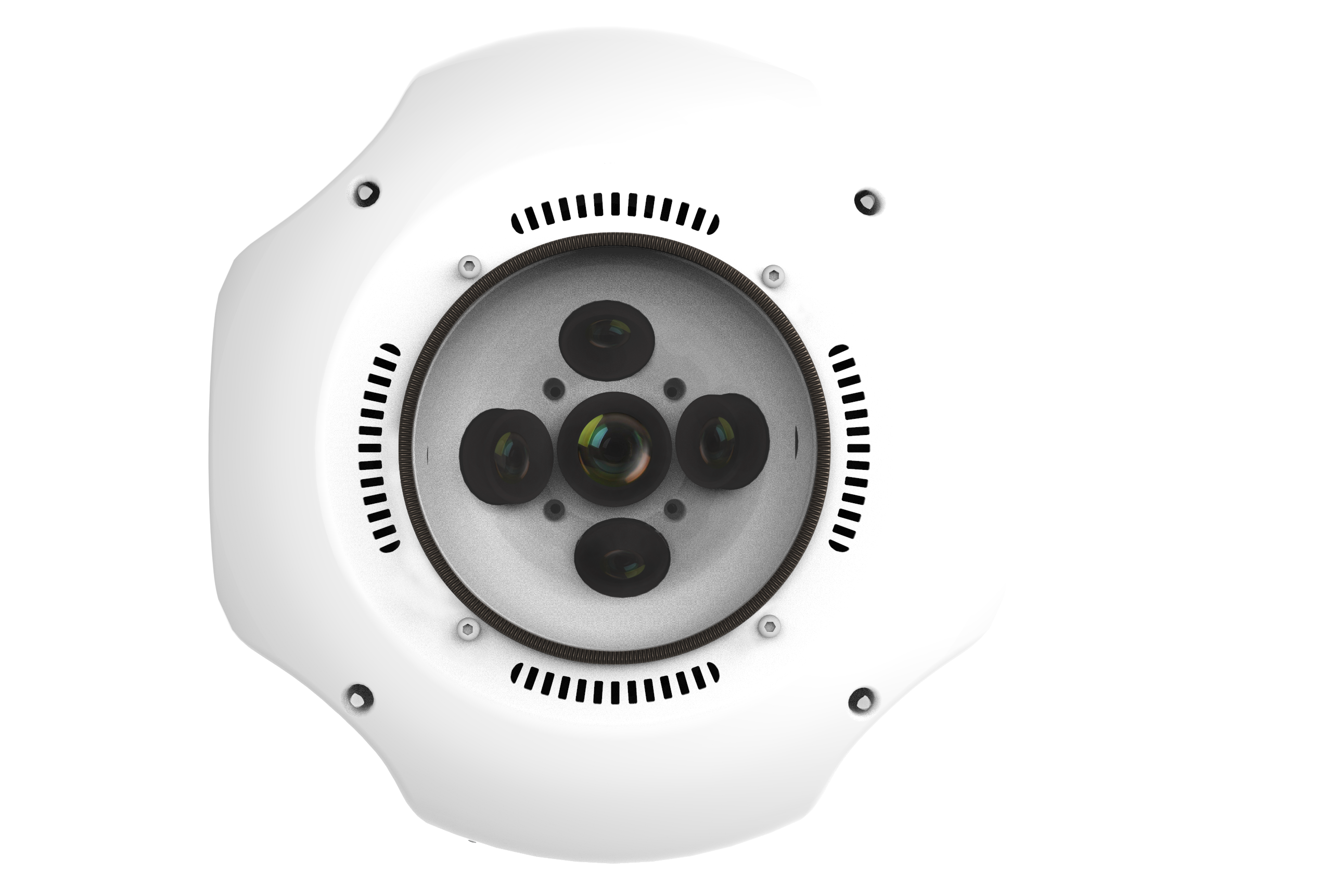
 3D Lidar
OS1 Lidar
3D Lidar
OS1 Lidar
-
 3D scanner accessories
标靶球(配准)
棱镜球(配准)
TSP定位装置
3D scanner accessories
标靶球(配准)
棱镜球(配准)
TSP定位装置
-
 ATS positioning registration kit
ATS positioning registration kit
ATS positioning registration kit
-
- Software
-
 Faro software
AS-BUILT FOR AUTOCAD®
AS-BUILT FOR REVIT®
FARO Scene2019
BuildIT Construction
Faro software
AS-BUILT FOR AUTOCAD®
AS-BUILT FOR REVIT®
FARO Scene2019
BuildIT Construction
-
 Clear Edge software
EdgeWise Plant
EdgeWise MEP For Revit
EdgeWise Building
EdgeWise Structure
ClearEdge Verity
Clear Edge software
EdgeWise Plant
EdgeWise MEP For Revit
EdgeWise Building
EdgeWise Structure
ClearEdge Verity
-
 3D Reshaper software
3D Reshaper
3D Reshaper LSDK
3D Reshaper software
3D Reshaper
3D Reshaper LSDK
-
 Arena4D
Arena4D
Arena4D
-
 Artec post-processing software
Artec Studio 14
Artec Studio 15
Artec Studio 17
Artec post-processing software
Artec Studio 14
Artec Studio 15
Artec Studio 17
-
 PhotoScan software
PhotoScan software
PhotoScan software
-
 Onrol products
空间数据浏览器
激光雷达综合应用平台
Onrol products
空间数据浏览器
激光雷达综合应用平台
-
- Application
- Building and engineering City planning Digital City Tunnel engineering Highway acceptance Settlement monitoring Building structure safety inspection Urban disaster analysis Bridge reconstruction railway construction Airport and port
- Cultural heritage protection Ancient architecture protection Site excavation protection Paleontological record Digital Museum
- Geological and scientific applications Terrain Surveying Landslide monitoring Mining operation Forest green quantity
- Electricity and water application Substation Power line inspection Reservoir and dam
- Manufacturing and digital factory Plant facilities Detection and reverse engineering Aviation and shipbuilding
- Public security application Traffic accident Crime scene
- Case
- Cooperation
- Support
- Download
- Train


灾害预防及分析
针对自然灾害高发地区,预先收集自然灾害发生前灾区的高精度基础地理信息,包括地形数据、影像数据及其他相关环境数据。利用机载激光雷达,地面三维激光扫描仪及卫星遥感等手段采集灾害后灾区的高精度基础地理信息,利用数字测量技术制作灾区高精度数字正射影像(DOM)、数字高程模型(DEM)、数字线划图等基础地理数据。
利用以上数据,运用计算机三维视景仿真技术和虚拟现实技术,在计算机中构造一个基于真实基础地理数据的灾区灾前灾后的三维虚拟场景,真实重现灾区的三维地形地貌变化情况,支持任意场景漫游、基础地理数据查询、空间分析等功能,并可结合救灾和灾后重建的实际需求,为救灾和重建过程中的科学决策提供支持。
实际应用,对比、了解灾区的地形、地貌变化情况,具体分析地形与地貌变化空间特征,为灾害过程中的救援、损失评估、灾后重建提供决策支持。
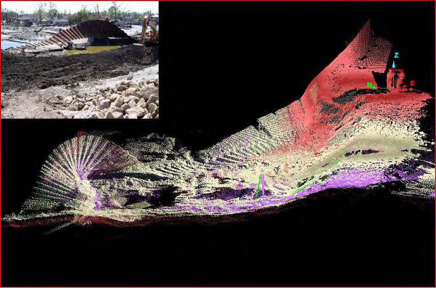
图:飓风过后的防洪堤岸
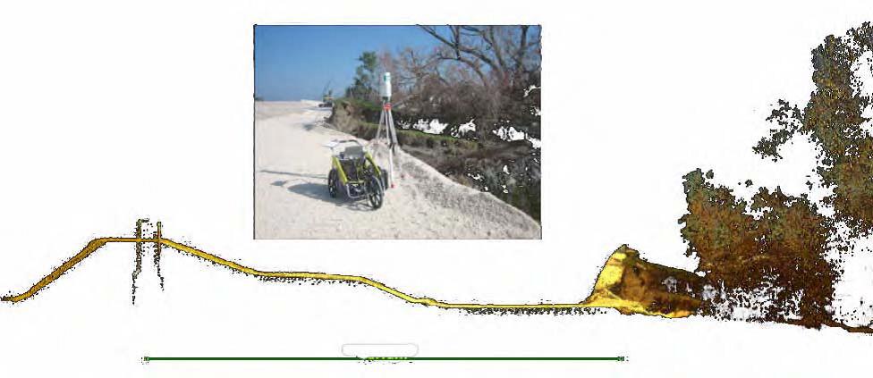
图:飓风导致的严重灾害,水土流失及堤岸的防洪治理
Application

Partners
About us
Cooperation
Software
- Faro software
- Clear Edge software
- 3D Reshaper software
- Arena4D
- Artec post-processing software
- PhotoScan software
- Onrol products
Support
Hardware
Application


Copyright(c)2015 Beijing Onrol Technology Co.ItdAllright Reserved